Geospatial technology broadly includes Mapping and Surveying Techniques, Remote Sensing, Photogrammetry, Cartography, Global Positioning Systems (GPS) and Geographical Information Systems (GIS). With its unique ability for acquisition, integration and analysis of geographically referenced spatial information, this technology has in recent times been recognized as an effective tool for planning, management and decision making locally and globally.
High resolution 2D and Stereo Satellite Images and super advance Drone Technology offers huge potential for Topographical Survey. Using high resolution Satellite Imagery and Drone, it is possible to achieve horizontal and vertical accuracy in the advanced Topographic Survey as compare to traditional survey method for the planning and managing of open cast mines. This advance Geospatial Technology reduces the cost of Survey, Mapping and Workload. All the mining sector using this technology because:
Reduce Time & Project Cost
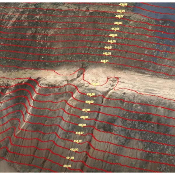
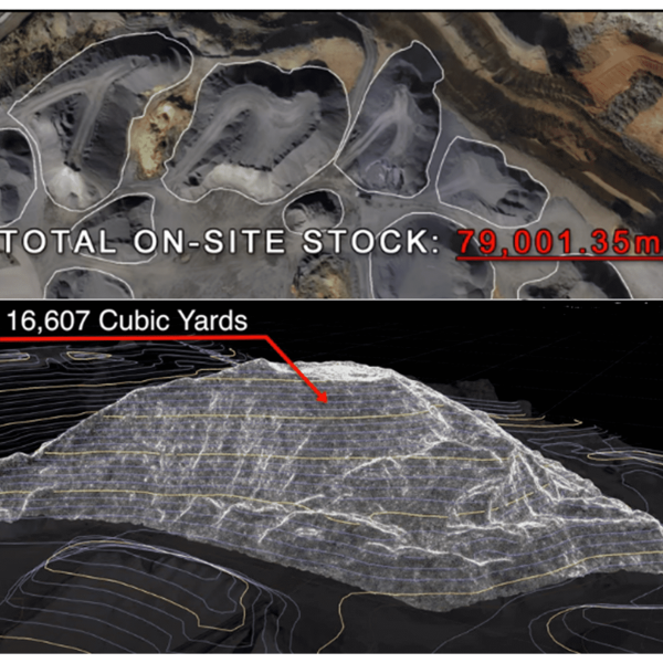
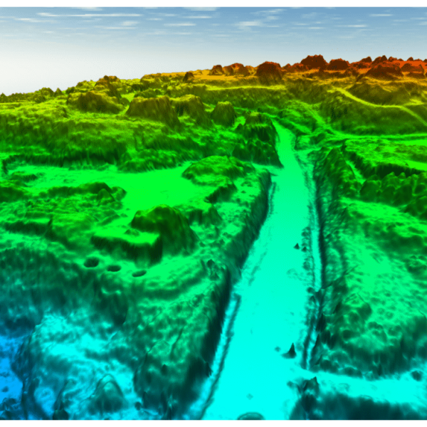
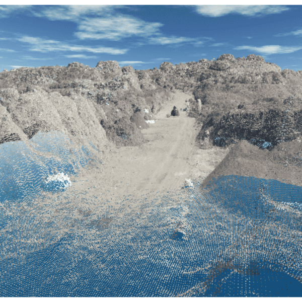
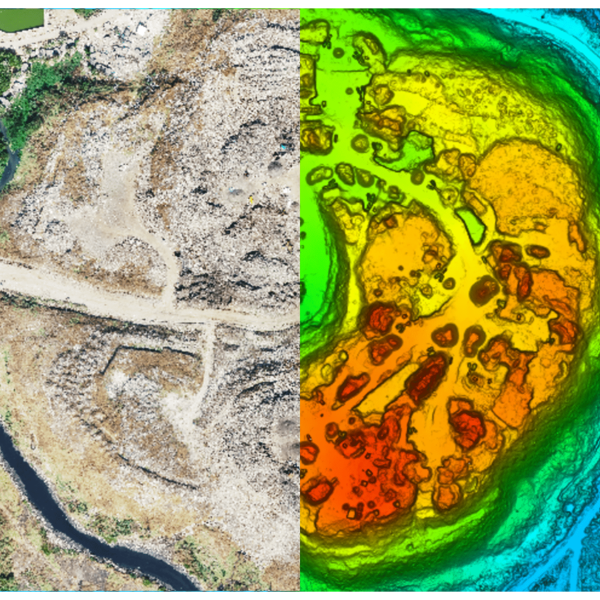
From this data, a photogrammetry software can create geo-referenced orthomosaics, elevation models or 3D models of the project area. These maps can also be used to extract information such as highly-accurate distances or volumetric measurements.
Drones can fly at a much lower altitude, making the generation of high-resolution, high-accuracy data, much faster, less expensive and not to depend on atmospheric conditions such as cloud cover.