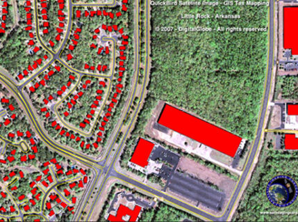
Satellite imagery is an image of the Earth or other planets acquired using satellites in the earth’s orbit. Imaging satellites are generally operated...
A Geographic Information System (GIS) is a system which is designed to acquire, store, manipulate, analyze, manage, and present all types of geographical data...
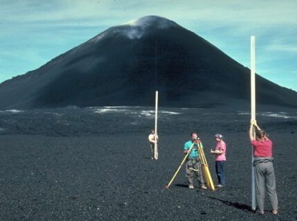
Verticality Check survey is generally carried out for High Rise Buildings, Transmission Line Tower installation or High rise Towers for checking the precise...
In Differential Leveling Survey the difference in vertical distance (elevation) between two points is used to transfer the level from one point to another...
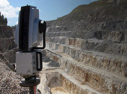
Triangulation Survey is generally carried out to establish the precise control points network specifically in the hilly areas as measurement of angles in hilly...
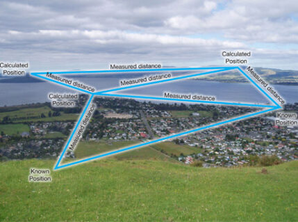
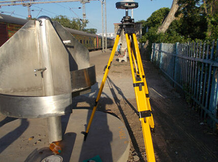
Traversing is carried out in all Survey projects to establish the precise network of primary control points in the area of interest. Primary network of control...
ARK Services Pvt. Ltd. has expertise in carrying out Astronomical Surveys by its experts having lifetime experience in Survey Industry. In Astronomical Surveys...
ARK Services Pvt. Ltd. is one of the leading companies in the industry for providing the services of Quantity calculations based on the precise field surveys....
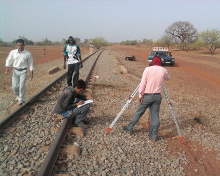
We at ARK Services Pvt. Ltd. have expertise for carrying out Rail Track, Highways, Rapid Mass Transit Systems, Pipelines, Transportation System Alignment...