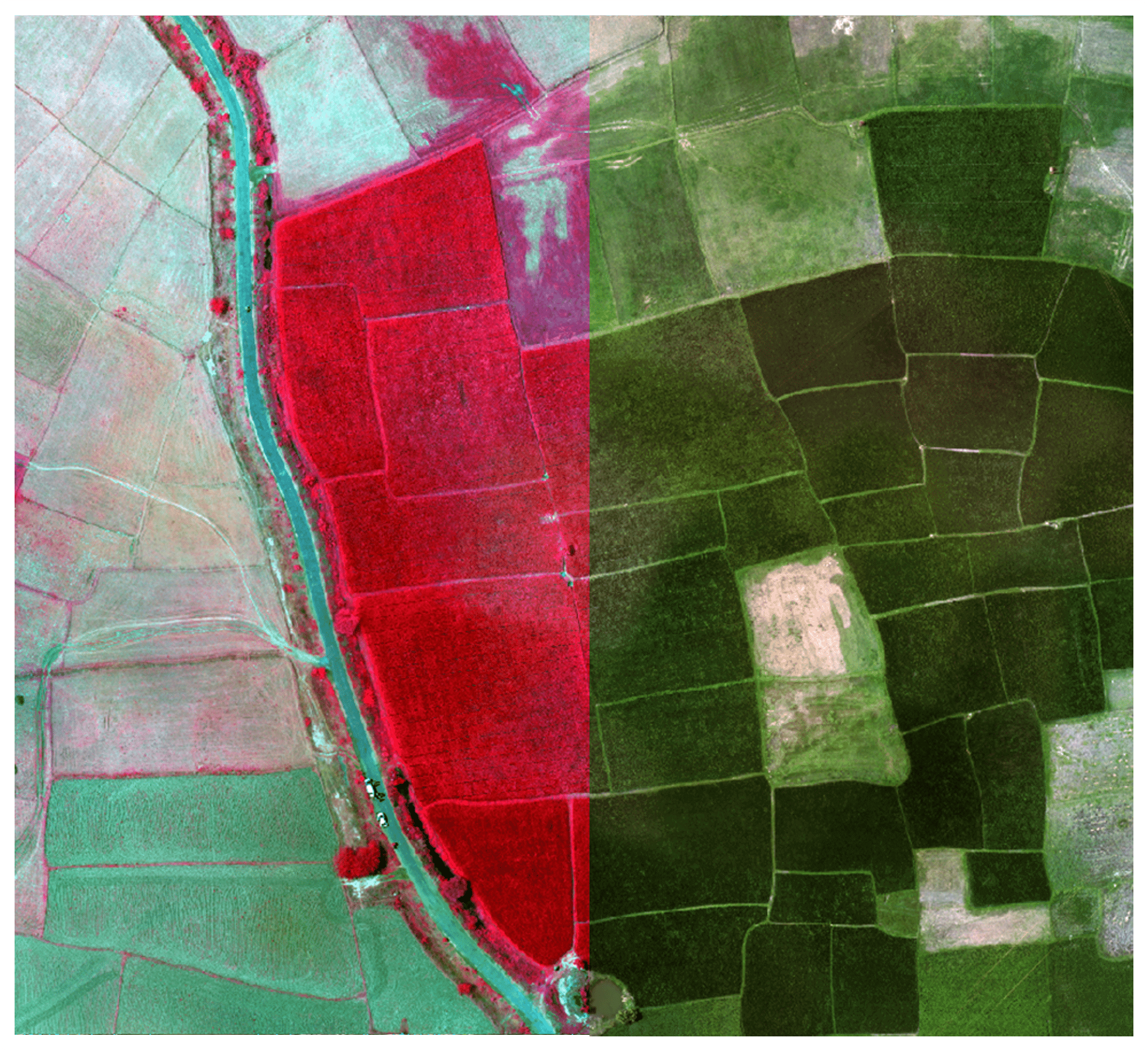
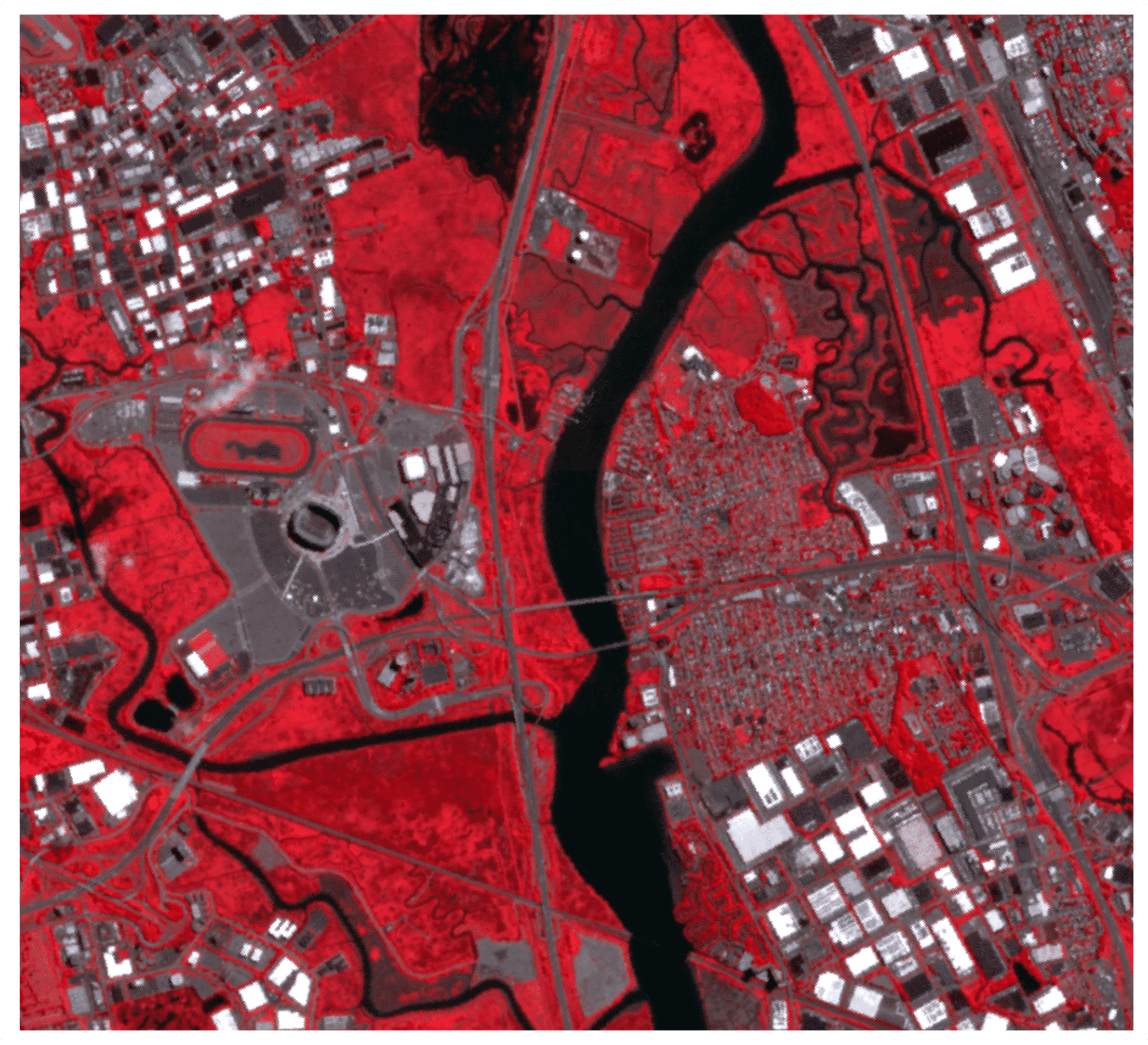
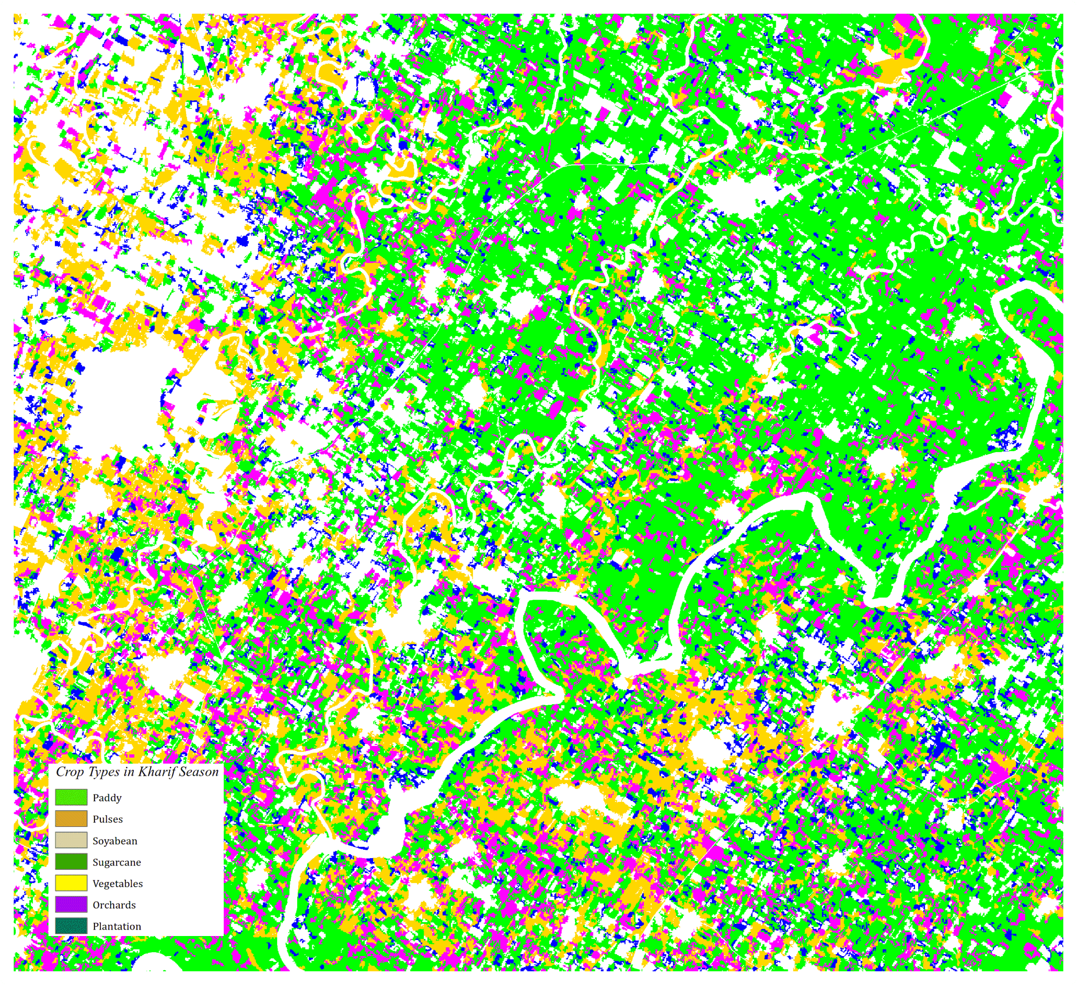
Remote sensing offers a cost-effective method to capture field data for analysis and planning purposes. Layer Informatics offers a number of remote sensing and analysis services including:
Our image interpreters are deployed on a variety of projects, and can quickly meet individual project requirements. We can deploy teams on site for critical tasks and technically challenging data analysis projects.
Remote sensing technology is used in a wide variety of disciplines in thousands of different use cases, including most earth sciences, such as meteorology, geology, hydrology, ecology, oceanography, glaciology, geography, and in land surveying, as well as applications in military, intelligence, commercial, economic and also government use the information for decision making civil defence operations, police.
ARK SERVICES PVT. LTD. has the appropriate industry expertise to provide geospatial solutions and services, particularly in the Land Information Systems, Utilities, Telecom, Transportation, Geology and Engineering sectors.


Our Commitment
To provide Quality Services to our clients that EXCEEDS their expectations.
To grow with & through people.