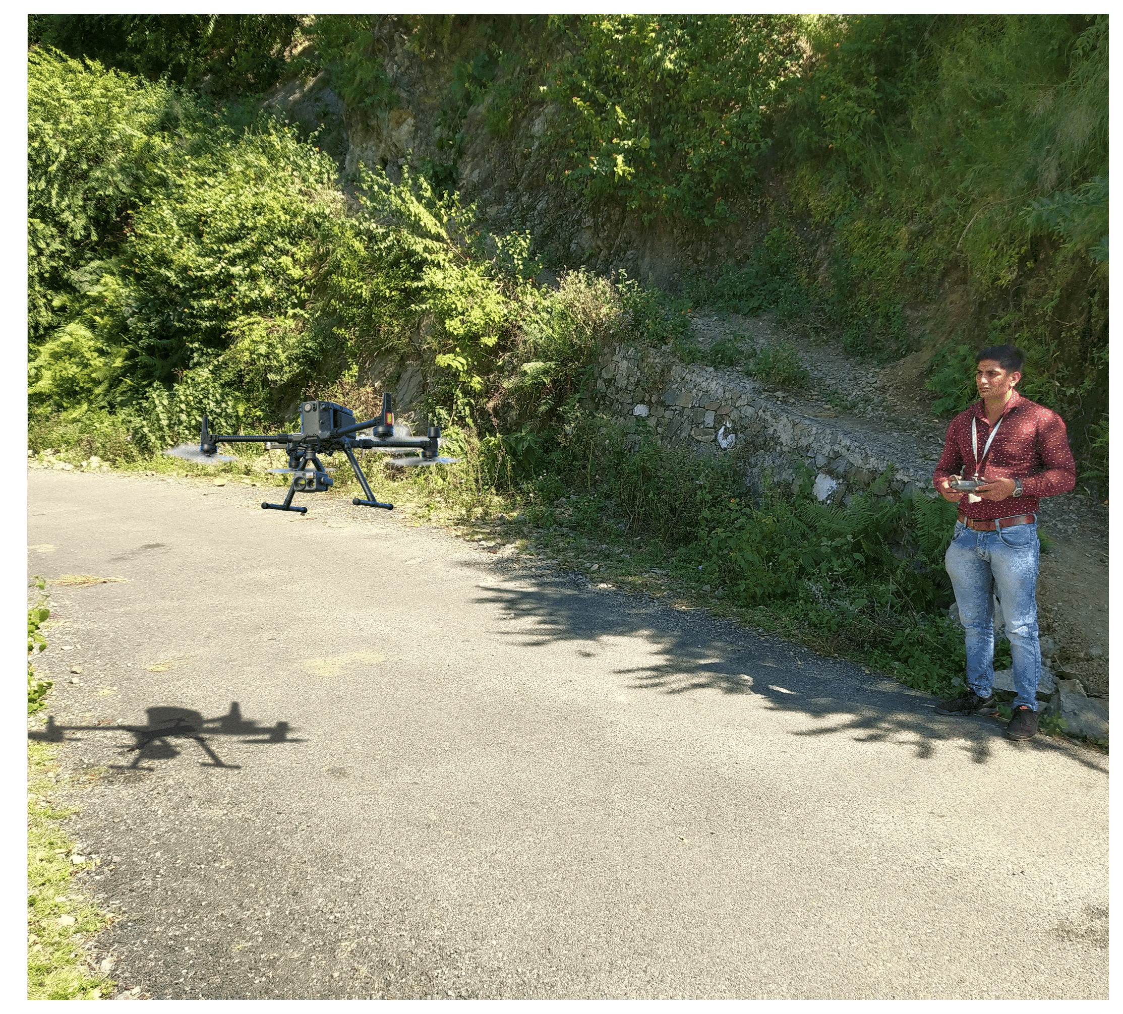
UAVs known as unmanned aerial vehicles, and it emerging market of services built around flying robots that can fly by the manually controlled through the remote control or autonomously using software-controlled flight plans in their embedded systems. Majorly Drone services are to assist industries with tasks such as agriculture, construction, search and rescue, package delivery, industrial inspection, insurance and videography, image and measurement collection, and event management or broadcasting.
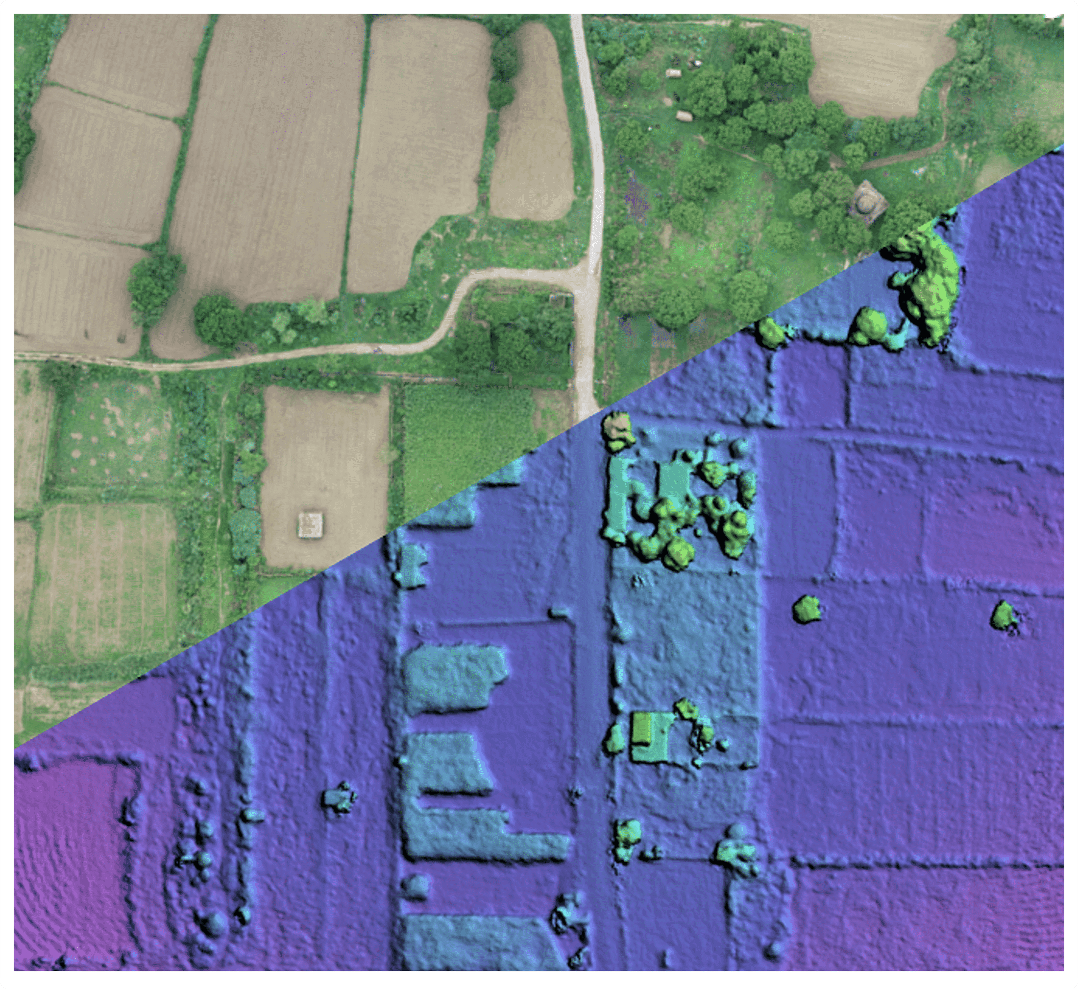
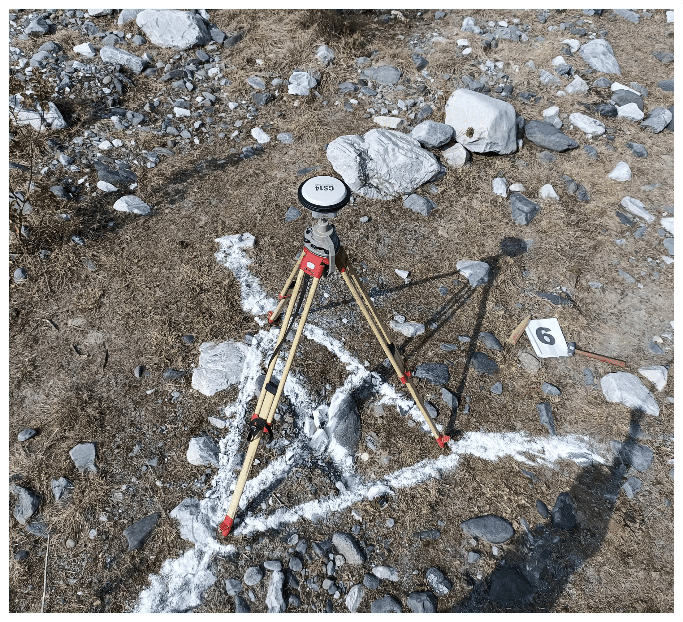
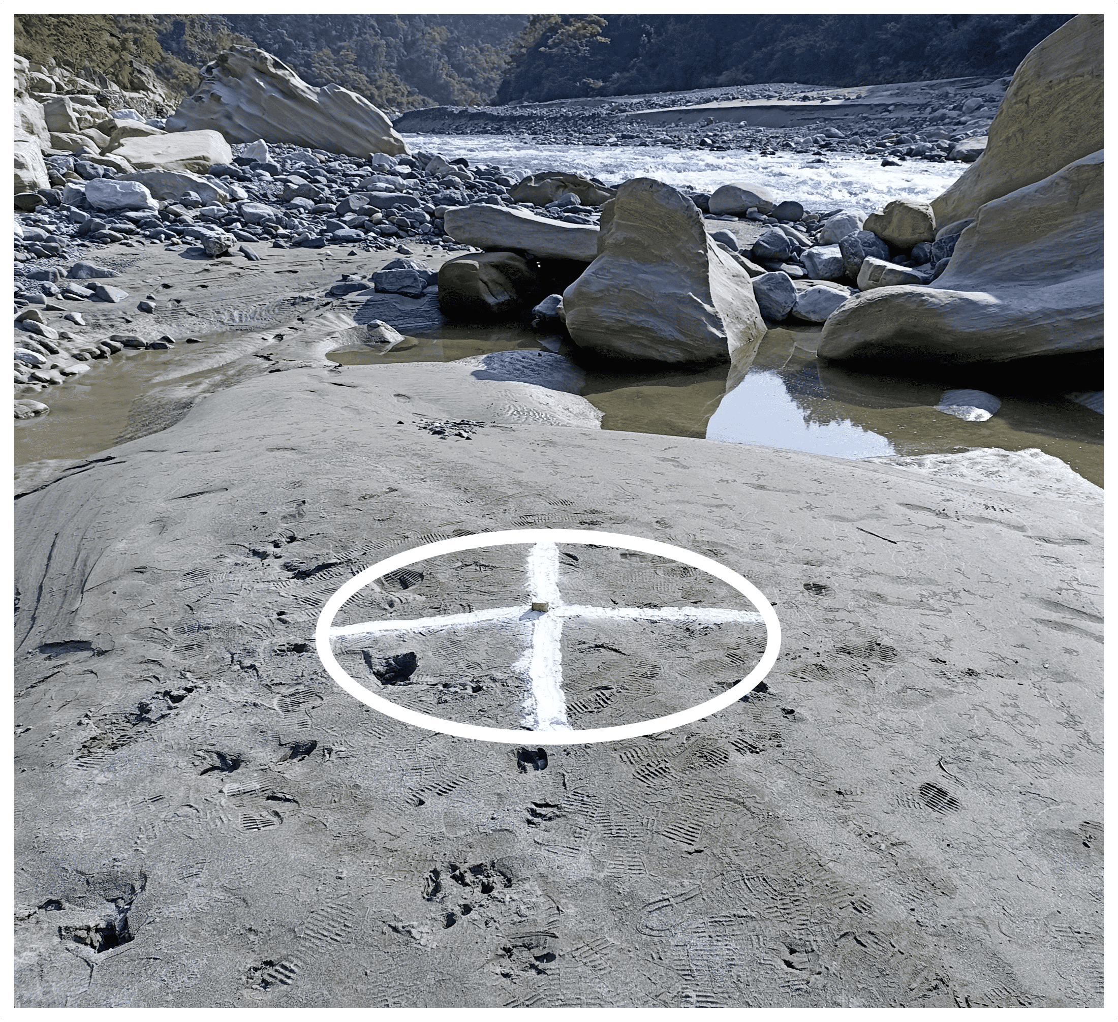
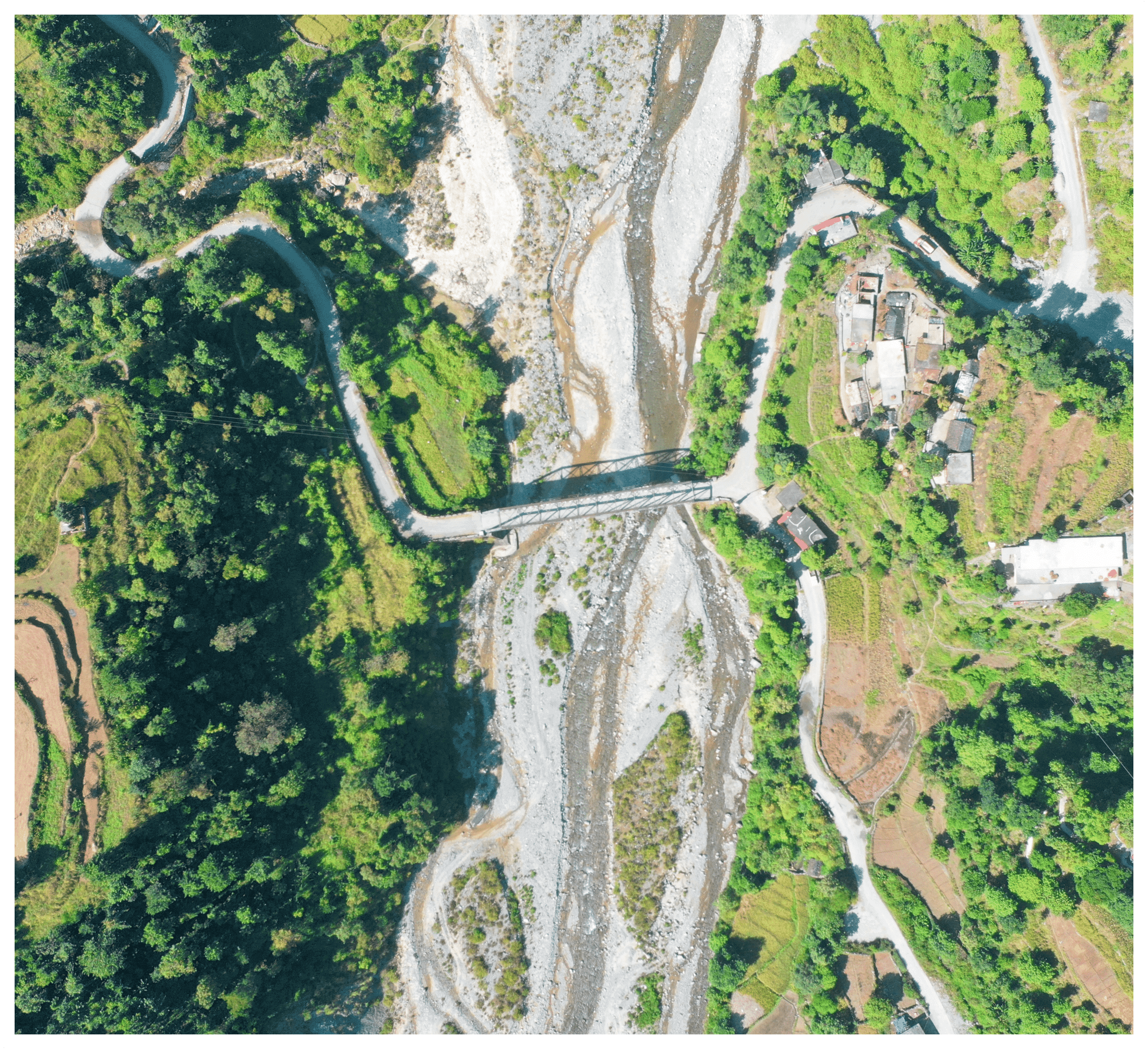
Surveying with a drone offers many possibilities for GIS professionals. With a drone, it is possible to perform topographic surveys of the same quality as highly accurate measurements collected by traditional methods, but in a fraction of the time. This significantly reduces the cost of a site survey and the workload of field experts.