Geospatial technology has had a lasting impact on the agricultural industry and its efficiency around the world. We provide drone solutions to farmers to increase productivity in crop monitoring to planting, Livestock Management, Pesticide Spraying, Crop Stress identification, Treatment Planning, Plant Growth Monitoring, Precision Farming, Scouting and much more.
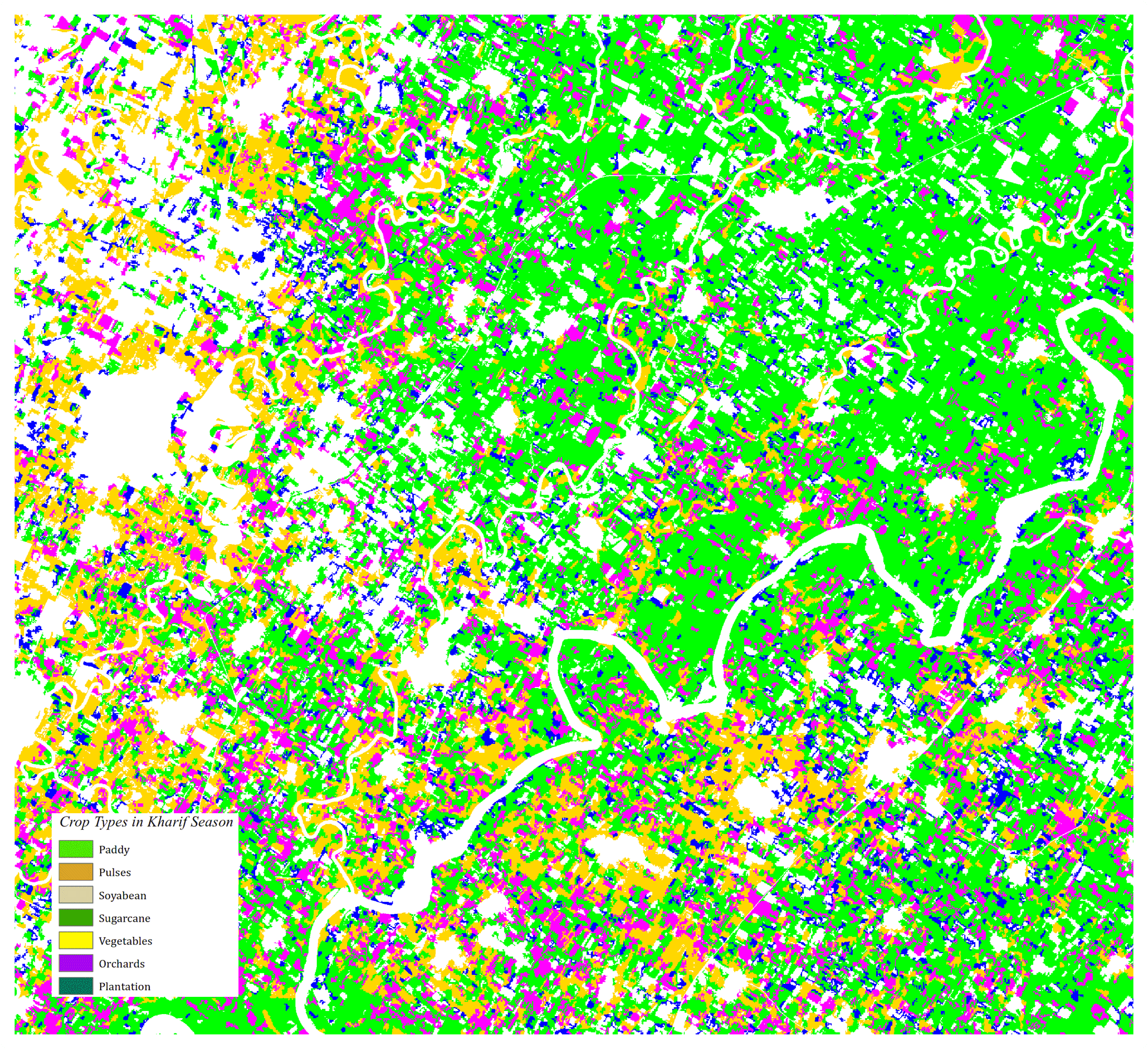
We use High Resolution satellite image for the large scale mapping and for precession mapping high resolution DRONE equipped with advanced sensors, such as RGB, Tharmal and Multispectral Sensors. It is possible to analysis the damage crop field at parcel level using Remote Sensing & GIS technique. At ARK SERVICES PVT. LTD. we are providing advanced geospatial tools and technology such as high-resolution DRONE technology with Artificial Intelligence and Machine Learning tools which helps in assessment of the health of a crop, as well as early detection of crop infestations, ensuring good agricultural productivity. Also helps in the analysis of moisture deficiencies, insects, fungal and weed infestations.