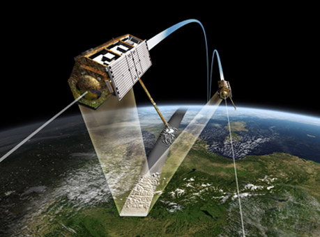
Satellite imagery is an image of the Earth or other planets acquired using satellites in the earth's orbit. Imaging satellites are generally operated either by the Government agencies or other private businesses spread around the world who provide commercial satellite imageries. Satellite Imageries are available with varied precision depending upon the requirement of the Clients. As per requirement the Satellite Imageries for the area of interest are procured from the Government Agencies such as National Remote Sensing Agency (NRSA) or other Private agencies worldwide. Using advanced softwares the satellite Imageries of the area of interest are processed analysed and desired maps are prepared. ARK Services Pvt. Ltd. has associated with various Satellite Imagery companies for Satellite Imagery Mapping works in India.
Applications: