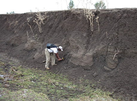
In Geological surveys geology beneath a given area of earth is investigated in a systematic manner for the purpose of preparing a geological map or a geological model. Geological surveys are generally carried out by a traditional walk-over survey method to study the outcrops and landforms etc. In Geological Surveys generally the rock outcrops and geological features are studied and mapped on the topographic maps available with the Geologists. Different scale Geological Surveys such as Regional Geological Surveys in scale of 1:50,000 or Detailed Geological Survey in scale of 1:10,000 or 1:1,000 are carried out depending upon the requirement of the site. Geological Surveys are also carried out using the intrusive methods such as boring, drilling, geophysical techniques, remote sensing methods such as aerial photography and satellite imagery.
ARK Services Pvt. Ltd. is having inhouse team of experienced Geologist to take up any Geological Mapping work for any Infrastructure project such as Hydro Power, Railway Line, Roads & Highways.